Projects
LiDAR Survey for Hace Rail-to-Trail Design

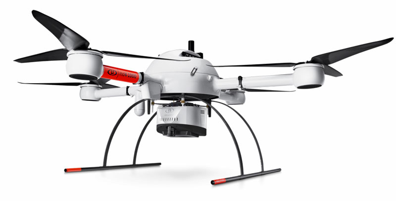
RAVAN AIR’s unmanned aerial LiDAR (Light Detection and Ranging) surveying services were instrumental in designing the newly reopened D&H Rail-Trail located in Northeast Pennsylvania. Flying RAVAN AIR’s mdLiDAR1000 over 65 acres of abandoned rail line, the FAA certified pilot and observer performed a topographical survey for trail designers Cornerstone Consulting.
The field tough, heavy lifting md4-3000 drone with a Riegl LiDAR and SONY camera uses lasers that bounce off objects and return measurements. It can access difficult terrain and has the capability of scanning through deep vegetation. Trail engineers built 3D maps and models of the rail line’s landscape with collected GIS systems data. The survey took three hours to complete with a Ground Sampling Distance of 0.5 in (1.27 cm) in accuracy.


