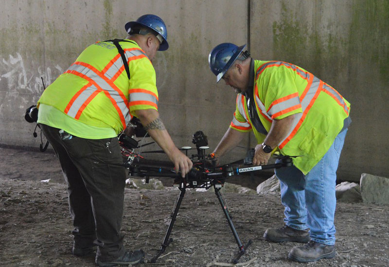
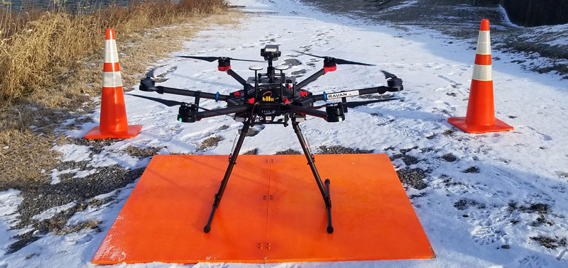
RAVAN AIR knows that drone oil and gas mapping and other industry specific aerial mapping needs vary, so we provide a number of different output reports and assessments compatible with most GIS (Geographic Information System) software.
Our missions safely collect point cloud data and photogrammetric images transforming them into survey quality, color 3D models and maps. Volumetric measurements can also be calculated at the same time with georeferenced 2D maps and 3D models.
Best of all we save our customers time and cost by greatly reducing right of way (ROW) and permit issues while maximizing ground crew resources. Our technicians are factory trained and certified to perform GIS Mapping services.

Mapping
- Right of Way
- Natural Gas, Oil, Petrochemicals, Water Pipelines
- Hill Slips/Erosion
- Hillside Elevations
- Structures
- Rivers
- Construction
- Corridor
- Site
Reports
- Orthomosaic
- Digital Surface Models
- 3D Models
- 3D Maps
- Digital Terrain Models
- Contour Maps
- Volumetrics Measurements
- Point Clouds
- GIS Compatible
Volumetrics
- Stockpiles
- Pits
- Mines
- Quarries
General
- Master Service Agreements (MSA) Available for All Services
Emergency Response
By utilizing our available above ground UAV services during emergencies such as natural disasters, blowouts or leaks, assessments are immediate and safe. This eliminates any wait time or risk for personnel and equipment is able to be deployed at any hour.

